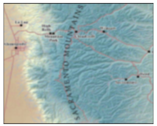
Sacramento Mountains Hydrogeology Study
The purpose of the Sacramento Mountains Hydrogeology Study was to identify the geologic controls on groundwater recharge, occurrence, and movement, and to identify hydrostratigraphic units (“aquifers”) contributing groundwater to springs, streams, and wells in the Southern Sacramento Mountains. Two more reports have been completed by the Bureau of Geology and Mineral Resources with financial assistance from the Otero Soil and Water Conservation District through legislative appropriation administered by the New Mexico State Department of Agriculture. Additional funding was provided by the New Mexico Bureau of Geology and Mineral Resources (Aquifer Mapping Program), New Mexico Interstate Stream Commission, U.S. Forest Service, U.S. Geological Survey National Cooperative Geologic Mapping Program, NRCS, New Mexico Forest and Watershed Restoration Institute, and NM State Forestry.
- Sacramento Mountains Hydrogeology Final Report June 2012 - Open-file Report - 543
- Northeastern Tularosa Basin Regional Hydrogeology Study Final Report June 2014 - Open-file Report - 562
- Sacramento Mountains Watershed Study Final Report October 2015- Open-file Report - 576
- Brackish Water Assessment in the Eastern Tularosa Basin June 2016 - Open-file Report - 582
- Hydrogeology and Water Resources of the Salt Basin December 2022 - Open-file Report - 618
For additional New Mexico Bureau of Geology and Mineral Resouces Publications by location use the NMBGMR Interactive Resources Map.